

Live map and road reports
Where every truck is now, which truck is closest to a loading place, and reporting and checking road restrictions.
Map has three tabs: Live map, Telematics and Road reports. Telematics uses the GPS devices in your vehicles and has its own page: Telematics and GPS map.
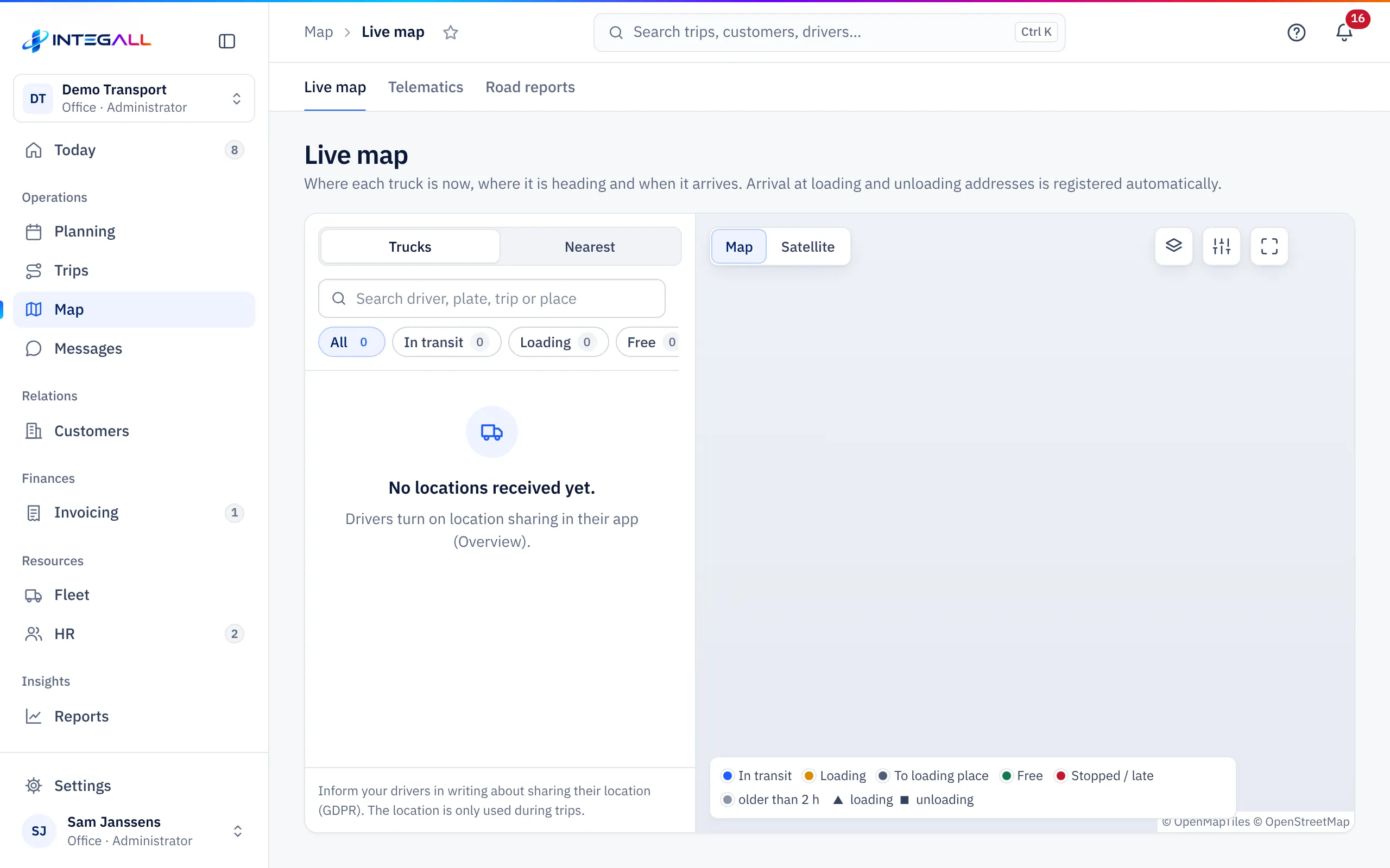
Live map#
The live map shows where every truck is now, where it is heading and when it will arrive. Arrival at loading and unloading addresses is recorded automatically.
- Filters: All, In transit, Loading, Free, Stopped, Late and Outdated (no position in the last 2 hours).
- Search: by number plate, driver or trip.
- Map type: Map or Satellite; Layers turns on extra layers, such as live traffic if available for your company.
- Map settings and Full screen.
On the map, ▲ means loading and ■ means unloading. Click a truck for the trip, the driver and the expected arrival.
Where do the positions come from?#
The live map uses the location drivers share in their app. Location sharing is off by default; the driver turns it on in the app. The position is only shared during an active trip and while the app is open. The office sees the last known position and the route of the last 7 days; older positions are deleted automatically.
If you have GPS devices in the vehicles, you see those positions under Telematics.
Nearest#
The Nearest tab shows which trucks are closest to a loading place, with the driving time. Choose a trip or type an address.
Road reports#
Road reports are road restrictions reported by drivers and office: low bridges, weight, width, bans, bends and roadworks.
Add a report#
- Choose Add a report.
- Choose the kind and enter the value (for example the height of a bridge). Without a value, navigation cannot use the restriction.
- Enter the location with Latitude and Longitude (degrees, WGS84). You can also paste "latitude, longitude" into the first field.
- Optionally fill in Direction, Valid until (for a Temporary problem) and a Remark.
- Choose Save report.
Check by a colleague (four eyes)#
A new report is unchecked and only goes to navigation after a check by a colleague with fleet permissions. Whoever submits a report cannot approve it.
- Open the report.
- Look at the photo (if the driver took one), the passages nearby and the possible duplicates (same kind, within 50 m).
- Choose Check and approve, Reject (with a short reason) or Merge with this one for a duplicate report.
You can later Lift (lift) an approved restriction. Download GeoJSON downloads the checked restrictions as a file.